

Inspiration
As an US Army veteran, service to those in disaster-hit areas was always a core part of our mission. And during my service, I discovered that communications infrastructure holds the key solution to disaster relief.
Three years ago my friends and I embarked on a volunteer drive from London to Ulan Bator and I purchased the people finding smartphone app Spot Connect device. After spending over $170 on the Bluetooth device and $99 on the annual plan, I was disappointed both with the UX, features, and what I knew could be utilized with just a simple iPhone and call plan. I knew this technology could be applicable to most areas in the world - since even in inner Mongolia I had great cell phone coverage.
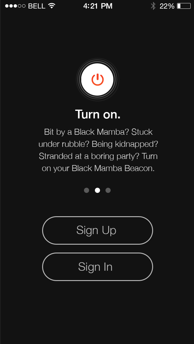
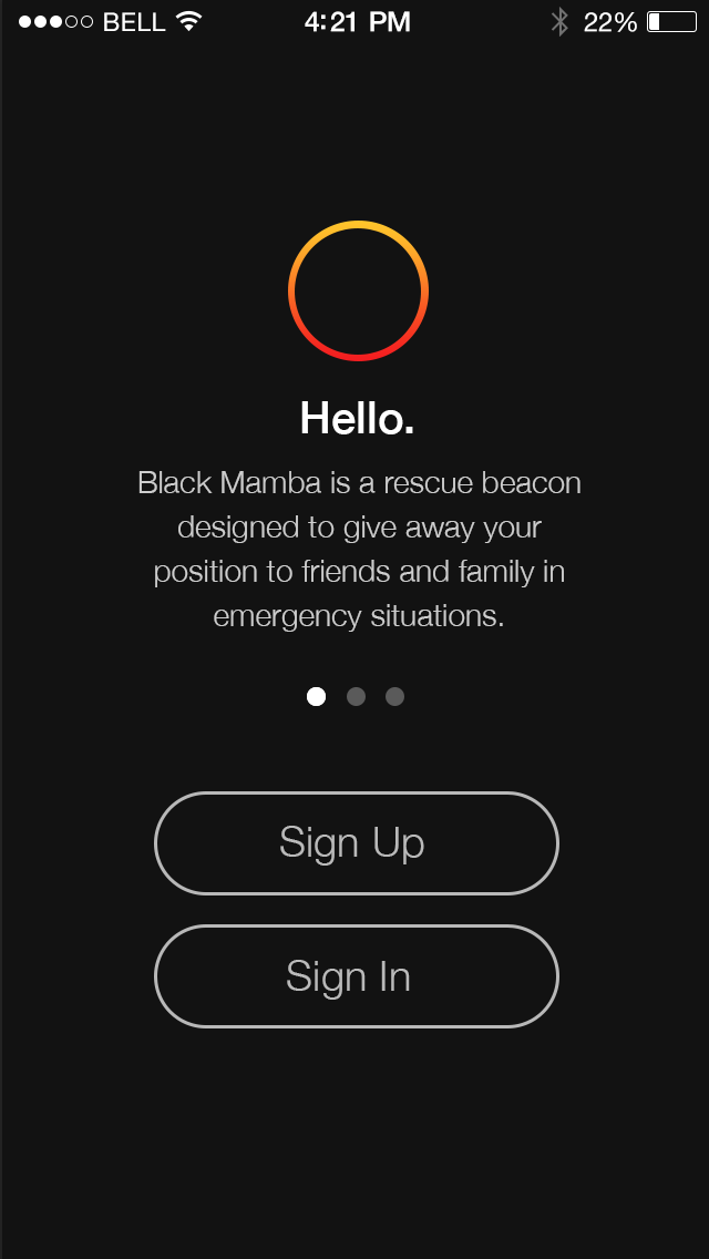
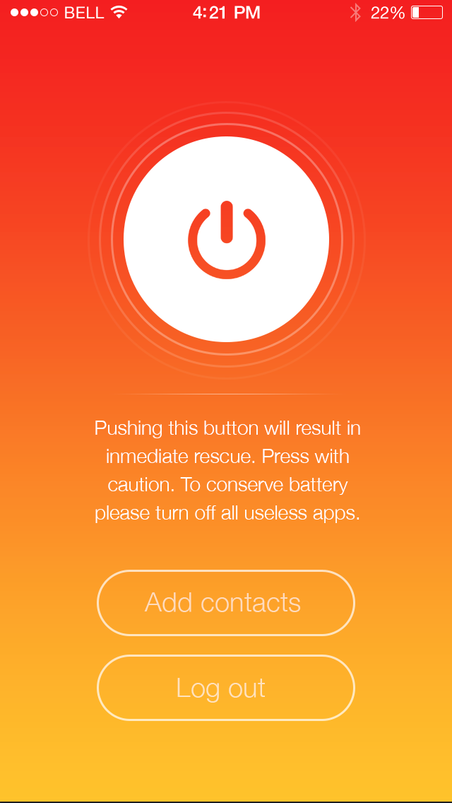
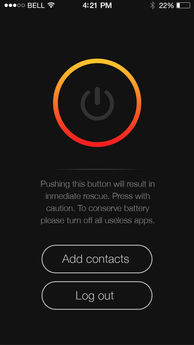
This iPhone app addresses the primary need of the emergency first responder - prevention of the continued loss of life. By giving civilians the ability to communicate geolocation directly with first responders, first responders are able to accurately and quickly group, triangulate, and find those that need help.
The team: The team behind the app is:
Richard Lau, software developer and Domestic Team Member Region Two at Team Rubicon, a disaster response platform for military veterans UX designer Carlos Lagrange, creator of Kickstarter campaign Code Cards Tak Lo, Director of Techstars and US Army veteran advisor Aaron Alfson, software developer and US Air Force veteran specializing in Emergency Management
Target user:
iPhone users that will experience a disaster or want loved ones and key contacts to know their geolocation
Key current features:
development on Github via here saving of key contacts from address book great UX for ease of use in case of emergency - one touch update of location to your key contacts push of geolocation data to key contacts automatically via email splash page available here
Upcoming features:
push mobile app on the app store push of geolocation data to map, with filters on time sequence pushing geolocation coordinates with increasing frequency as a disaster hits, with decreasing frequency afterwards to save battery while updating new location adding actions to recognize when network infrastructure is unavailable, and only starting pushing geolocation data when network is available creating a light weight text-based version of app for those without an iPhone
Development Roadmap
open source through GitHub and incremental work through the developer community developing the application via disaster relief themed hackathons like Flood Hack increasing frequency of app usage by giving away free to users, like travel group the Adventurists and relief organizations obtaining user data and feedback to iterate the next version


Log in or sign up for Devpost to join the conversation.