


London drivers can use any preferred app, such as Google Maps or Apple Maps to get directions to their general destination. Last Mile reduces the time and frustration of London drivers when making decisions upon arrival.
This mobile web map is designed to provide a clutter-free view of carefully curated places that matter most to London drivers: where to park and fuel their cars, transfer to public transportation, get a bite to eat and to spend the night.
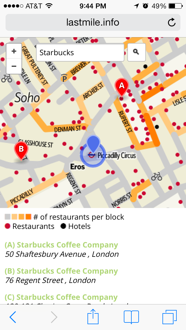
By creating a better visualization of city streets, a driver doesn’t need to waste petrol by circling the streets to learn the layout of a neighborhood. He or she can refer to Last Mile to see which streets have the most dining choices and where a switch to other modes of transportation can be made. He or she will be able to park sooner and get where he or she needs to go faster.
The block level heat map of restaurants can also be used as a security tool. Blocks with the most restaurants are likely to have the most pedestrian traffic, making them safer choices for parking and walking at night.
A variety of landmarks and areas are labeled on the map to help a driver get his bearings: neighborhoods, parks and popular tourist locations.
Approximately 50,000 locations are searchable on the map by name and keyword including restaurants, hotels, parking garages, petrol filling stations, Transport for London stations and Barclays Cycle stands.
The map is built almost exclusively using a variety of UK open data sources. It also constructed using open source tools including TileMill and the Leaflet JavaScript library.
Log in or sign up for Devpost to join the conversation.