

SafeFishing is an Android application developed by a top notch dev team. We like to call ourselves the Basic Fishes! This application is our solution to problem statement 15-15.
Over the past century or so, people have been dumping hazardous materials into oceans all around the world. Some of the more dangerous ones include: ammunition, toxic waste, and nuclear weapons. These are not only hazardous to fishers; they also damage the ocean ecology and the quality of the fish.
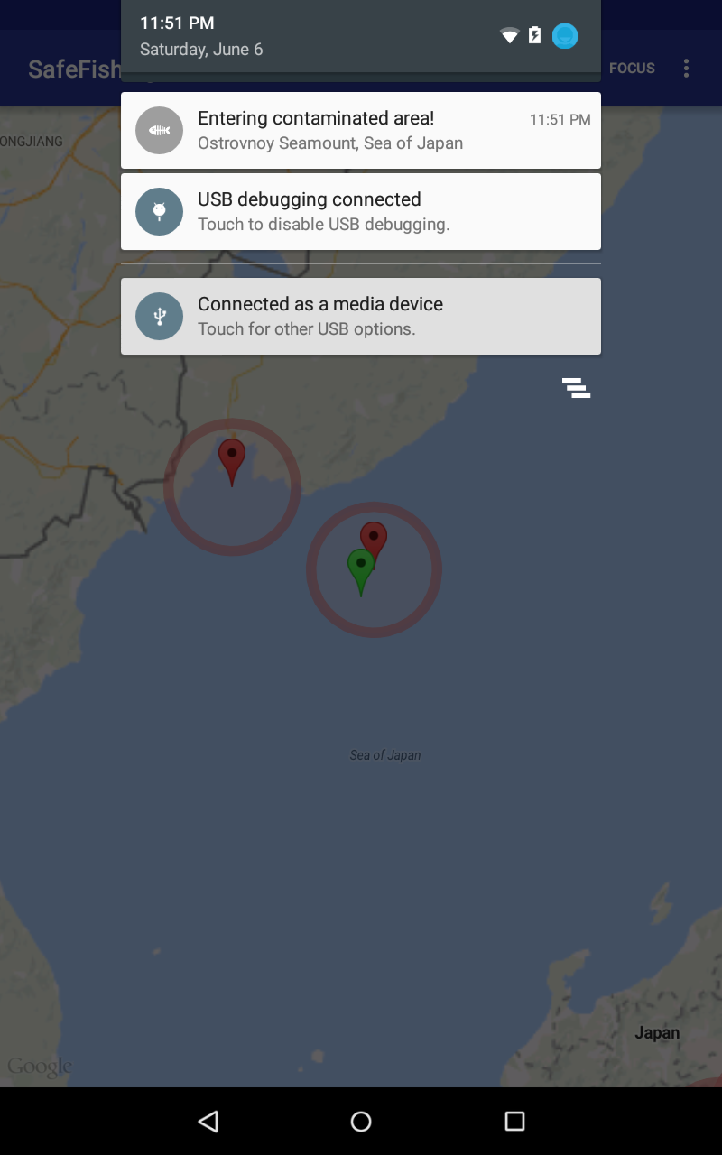
Our app takes the safety of fishers, small and large alike, into our own hands. By using state-of-the-art geofencing and GPS technology, our app cleverly presents fishers with a user-friendly hazard tracking map. It combines databases selected from researchers and a beautiful interface to apply the newest technology to something that humans have been doing for centuries: fishing.
Technical:
We are using an industry standard KML format to store the coordinates and information on hazard locations. This data is imported and parsed programmatically, and can easy to reach out to other databases and regularly import the latest information.
We've provided additional information and facts about the hazard location to better aid in the users’ decision making and navigation. You can access them with a single touch.
We also looked at the needs of fishers and developed an application that is able to function without a good network connection (as long as there is cached data).
Currently, the application obtains hazard locations from the Center of Non-Proliferation at the Monterey Institute of International Studies; we are researching additional sources of information to add to the database.
Built With
- android
- geofencing
- google-maps
- gps
- java
- kml


Log in or sign up for Devpost to join the conversation.