triohazard
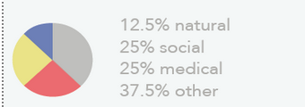
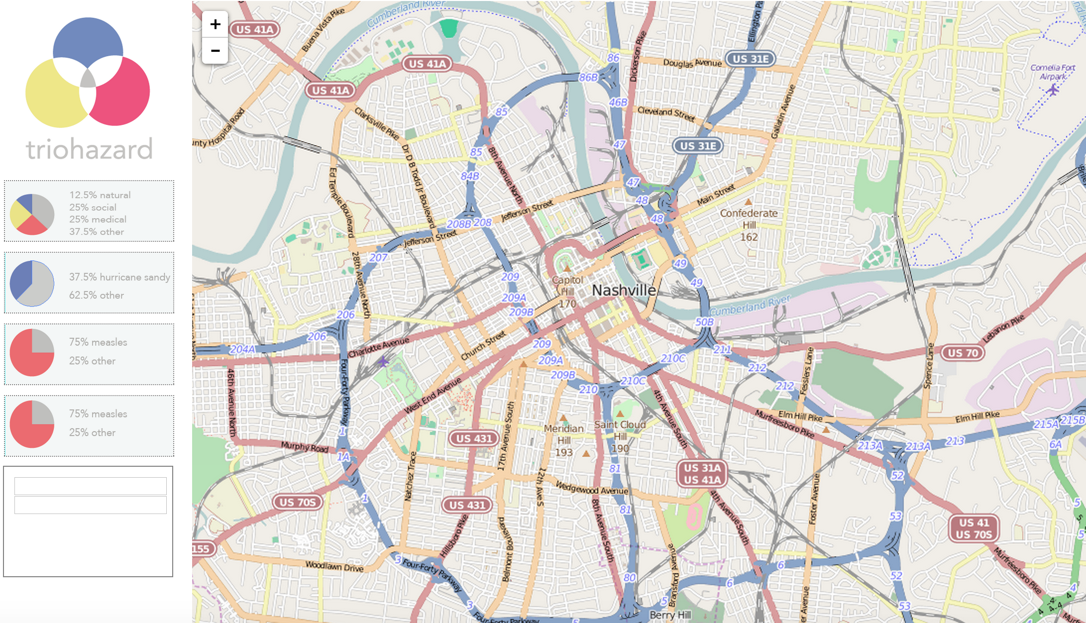
Triohazard uses a trio of emergency disaster scenarios: natural, social, and medical. Triohazard uses advanced algorithms and machine learning to filter Twitter data into a comprehensive visual map of areas the software has deemed hazardous. We also used the data to notify registered phone numbers in the area of possible dangerous situations.
Originally, triohazard started as a system we named Hotspot, with the goal of mapping the areas of high activity in a certain city for entertainment. We soon realized that Hotspot had very little practical use compared to the potential we saw in triohazard, which uses clusters of people to determine emergencies.
Visit us at triohazard.com!
Built With
- artificial-intelligence
- css
- data-mining
- digital-reasoning
- epic
- html
- javascript
- json
- leaflet.js
- machine-learning
- nashville-spirit
- neural
- nltk
- node.js
- python
- rustici
- twilio


Log in or sign up for Devpost to join the conversation.