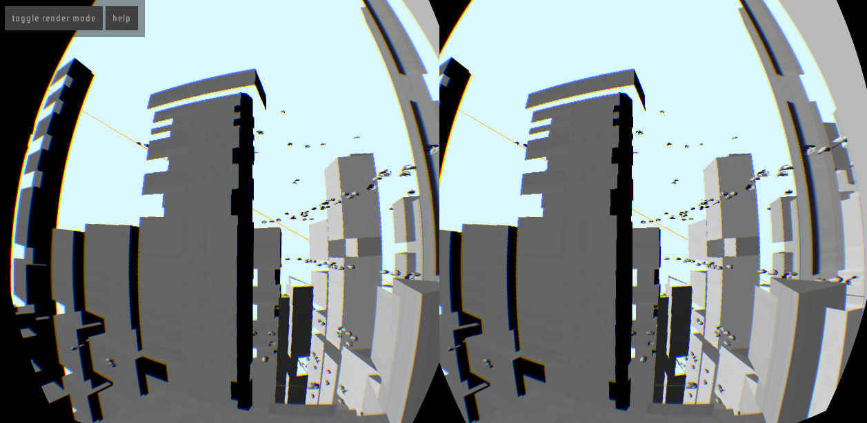
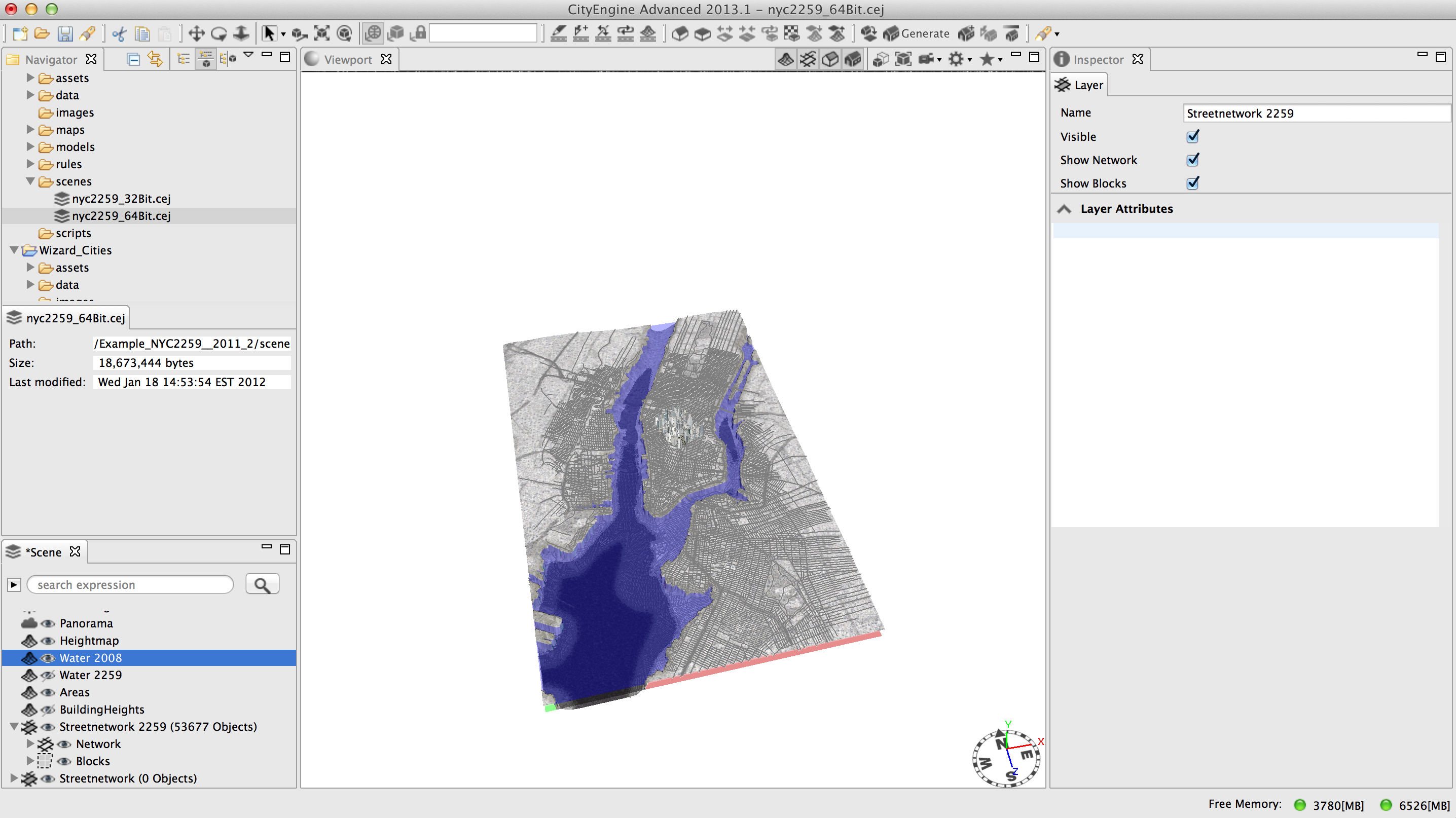
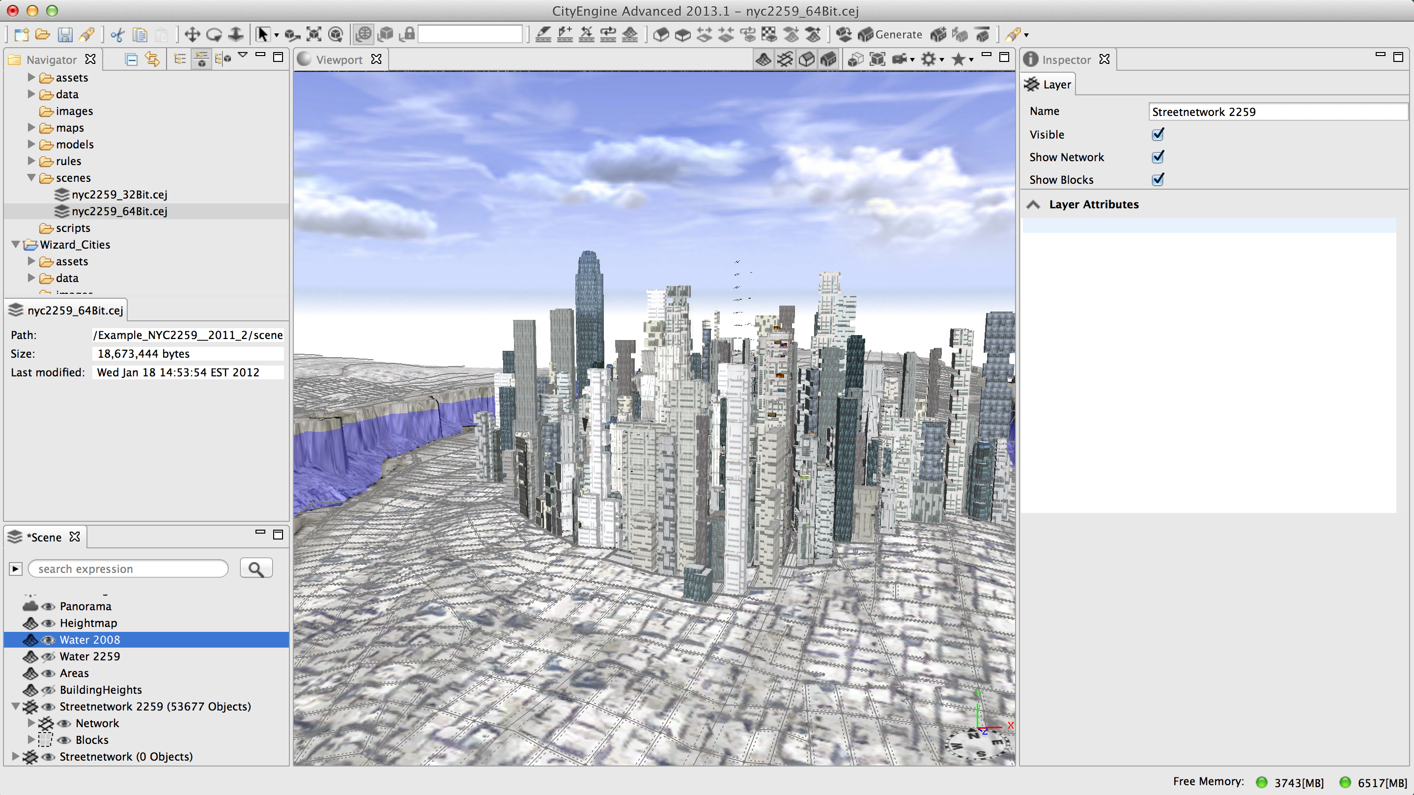


VRBAN allows users to explore urban environments using the Oculus Rift. Using Esri's CityEngine, 3D models of cities can be generated, edited, and updated using 2D GIS data as input. These 3D models can then be viewed and explored in VRBAN using the Oculus Rift. VRBAN also allows for collaborative planning of proposed buildings by allowing external users to vary settings such as sunlight, point of view, and location of proposed buildings. This allows the user with the Oculus to observe the impact of different decisions in an urban plan, while his or her teammates collaboratively work on the plan.
vrban
virtual reality meets urban planning


Updates

Leave feedback in the comments!
Log in or sign up for Devpost to join the conversation.