

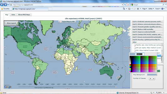


MDG Maps is a geovisulization tool for the Millenium Development Goals.
It enables one to generate printable maps for the different indicators.Select an indicator and the data will be loaded and rendered.One can use the slider at the bottom of the map to select data for different years.One can customize the map by selecting different color schemes and background colors.To export the map to pdf click the button at the top of the map.Clicking on a country will zoom in to the selected country and display printable charts for that country.
MDG Maps
Updates

Leave feedback in the comments!
Log in or sign up for Devpost to join the conversation.